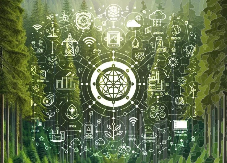
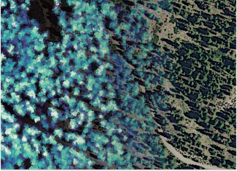
Good decisions are made with good data. New technologies like drone-based imagery and lidar are incredible sources of knowledge. We work hard to empower ecological forest management through sophisticated yet interpretable applications of all kinds of geospatial data.
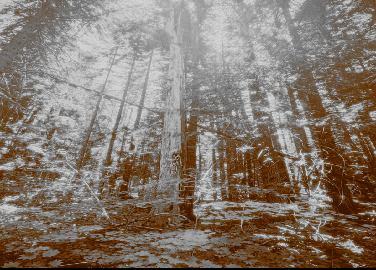
Step into an old-growth forest in the Pacific Northwest, and you feel it instantly. It’s more than just big trees. It’s a sense of profound complexity, a breathtaking space where sunlight filters through multiple layers of leaves and moss hangs thick on ancient branches. These forests feel timeless, but they are anything but static. They […]
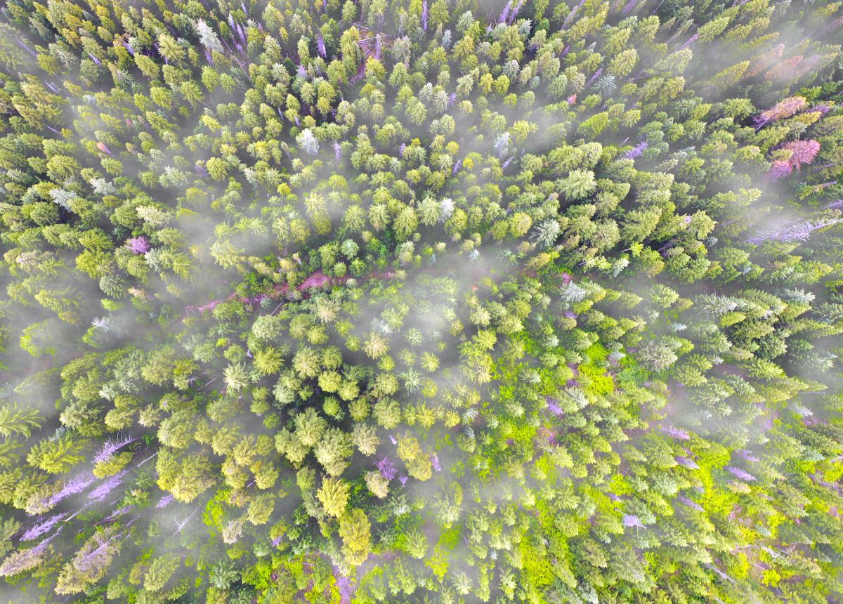
...Managing forest resources has always been a monumental task. The sheer scale and complexity of forest stands make traditional ground-based surveys time-consuming and often incomplete. But what if you could capture an entire forest in stunning, metric detail from the air? At Resilient Forestry, we leverage cutting-edge drone photogrammetry to do just that. We transform […]
...Healthy forests are characterized by a high resilience to the degradation of their ecological functioning and productivity. This resilience allows them to revert to their original state after exposure to external stressors, disturbances, or resource limitations. Accordingly, forest health preservation and restoration programs are key components of both ecological and productive forest management. These programs […]
...